Mapping the World Centimeter by Centimeter
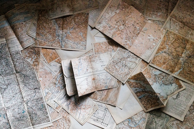
Cartographic advances have long been an overlooked core component in geopolitics and daily life, from stone tablets to atlases. Maps were used extensively throughout World War II, not just for navigating. To sway public opinion and gather soldiers, propaganda maps were utilized. And now, t o go to the hottest restaurant, TikTok and Instagram users use maps too. High-precision maps have undergone a recent evolution that has the potential to transform spatial data collection, logistics, and navigation.
In the lead is Dynamic Map Platform Co., or DMP, a little-known Japanese start-up. Large domestic corporations like Toyota Motor Corp. are among the firm's owners, and it is supported by government-backed institutions with multibillion dollar mandates to assist next-generation businesses.
DMP is developing and constructing a collection of high-definition, three-dimensional maps that are far more accurate than the ones we are accustomed to, including those found on iPhones, in apps like Waze, and in in-car navigation systems that use GPS. Its information may also be utilized to increase precision of drone operation.
The key is data gathering. Mobileye, a company owned by Intel Corp., and similar companies rely on crowdsourced data from vehicles made by partner manufacturers (they collect it automatically and anonymously). The approach of the Japanese company provides for amazing accuracy and ownership. The information is accurate to centimeter-level distances and places. Other mapping systems that use the World Geodetic System have a reputation for being imprecise and relying largely on sensors. Google Maps' inaccuracies in congested places, as well as its inability to identify U-turns and tendency to send you in random directions, are quite annoying.
Additionally, there is a chance that using data from third parties, such as automakers, would cause storage and privacy problems. Or information from outside sources can stop being available. Self-generated data often has higher levels of security.
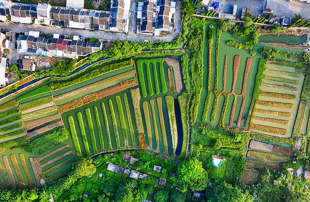
These maps need a significant technology investment for production. Exact locations are established by using the global navigation satellite system, or GNSS. After that, vehicles fitted with sensors and cameras gather and produce point-cloud data, which is a collection of points, each of which has a set of Cartesian coordinates (think X-axis and Y-axis). The information is combined and integrated by the mapping system. It detects everything, even before cars arrive at a location, including painted signs on roadways, buildings, curbs, lane links, and edges.

This may seem like a lot of sophisticated technology and irrelevant data, but data collecting and mapping are becoming the backbone of navigation and security technologies. Autonomous driving systems and software-centric automobiles were hot topics at last year's Consumer Electronics Show, one of the biggest tech events on the calendar. They are responsible for the surge in car technology and intelligent automobiles. Drones, windshields, and cockpits all include these maps to smoothly transport travelers to their destinations. By 2025, the rapidly developing market for such vehicles in China is projected to reach 960 billion yuan ($141 billion). Using signals from Elon Musk's SpaceX Starlink satellite, a team at the University of Texas' Radionavigation Lab is developing navigation technology in the US that is independent of the geopolitics of GPS, Russia, China, and Europe.
One day, individuals will be able to virtually travel to distant locations thanks to precise, high-definition maps. Analysts and scholars are utilizing vast amounts of satellite images and other geospatial data more often to observe what's occurring hundreds of kilometers away. To monitor activities at factories and warehouses, hedge funds also utilize this method. Open-source information has recently been used to monitor army movements in Ukraine. As society matures, 3D mapping systems like DMP's may someday enable logistics companies to deliver products via windows and travel around warehouses using 3D buildings and street maps. With accurate information on slopes, lanes, and charges, it will also enable electric cars to be more efficient. Today's cartography is considerably more effective than it was decades ago.
DMP now includes information for more than 30,000 kilometers (18,641 miles) of roads and motorways in Japan, almost 640,000 kilometers in the US, and more than 300,000 kilometers in Europe. Ushr Inc., which at the time had GM Ventures and EnerTech Capital as backers, was bought in 2018. Together, the two companies invested $100 million in the growth of high-definition coverage in North America, together with JOIN, a fund run by the Japanese government. To develop outside of North America and Japan, DMP and JOIN invested over $90 million last year. It already has automakers as members and aspires to be a crucial tool for infrastructure and logistics suppliers. These maps have been implemented in the semi-autonomous systems of the Cadillac cars made by General Motors Co., such as the CT6, XT6, and the Hummer.
Maps are becoming increasingly important as geopolitical tensions rise, transportation innovation picks up, and people travel more. The accuracy of the data, as well as its ownership, will be crucial to support further advancements in cartography.